Back to results 197.94 m2 Land for Sale in Itano-cho, Tokushima
New Today

Know someone who would love this? Gift them a subscription

¥6,585,000

Otera Aza Izumiguchi, Itano-cho, Itano District, Tokushima Prefecture, Japan

徳島県板野郡板野町大寺字泉口

Sign in to save properties

Buy Near Station Land Corner Lot Parking Near Shopping Quiet Area

Unlock the full description with a free trial

Includes AI translation, hazard data, cost estimates & nearby amenities

3 days free · cancel anytime

Start Free Trial

Land for Sale in Itano-cho, Itano District, Tokushima Prefecture

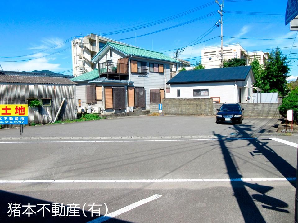
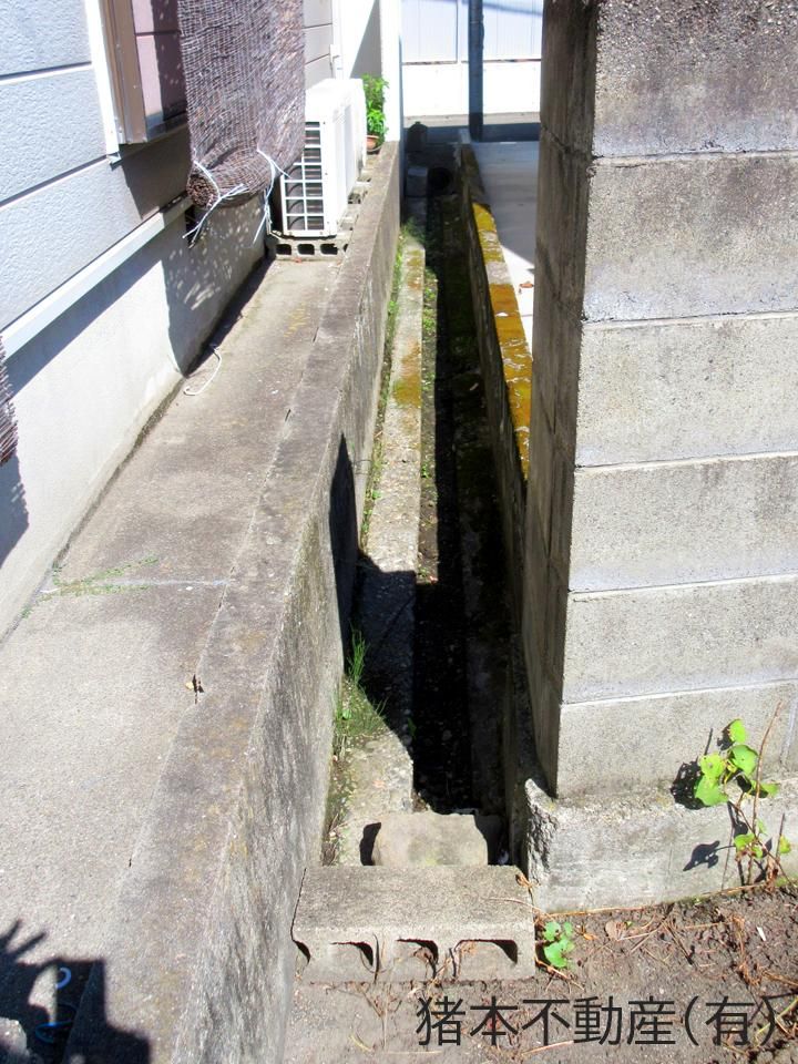
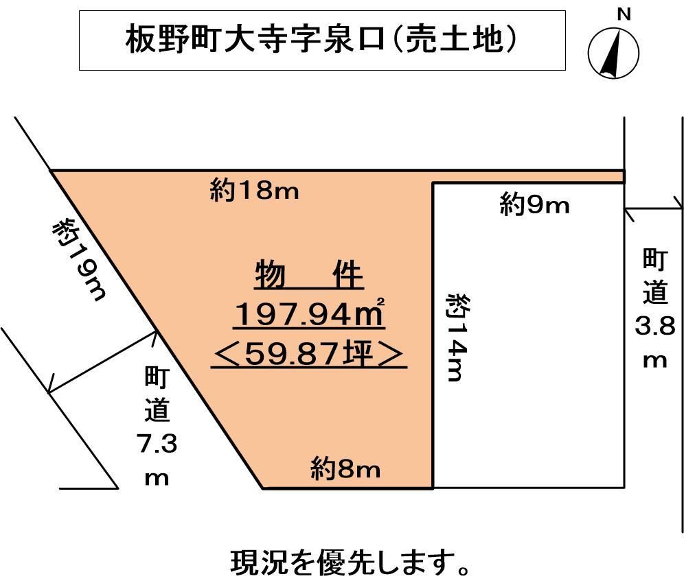
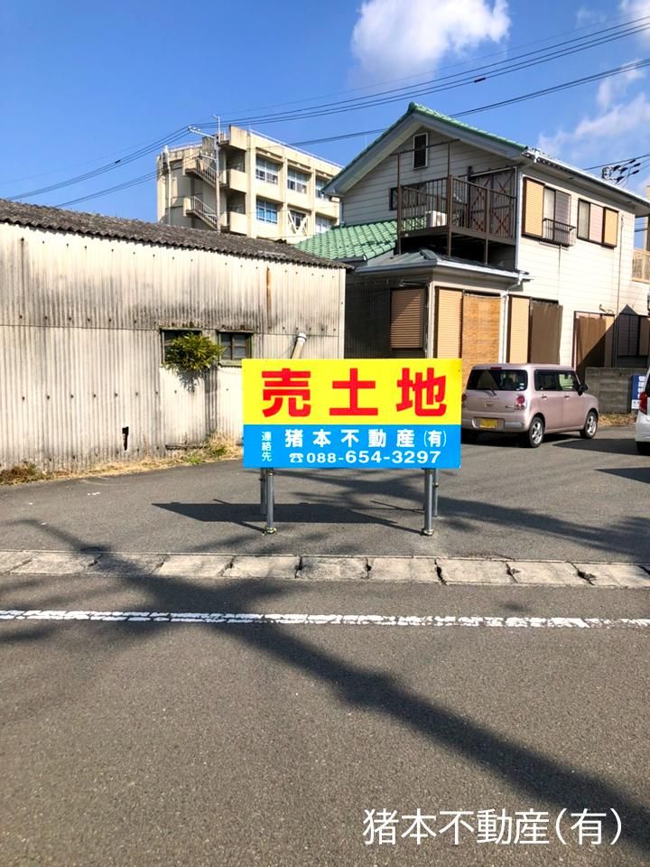
This property is a trapezoidal plot of cleared land located immediately west of Itano High School in the Otera area of Itano-cho, Itano District, Tokushima Prefecture. The land has a surveyed area of 197.94 square meters (approximately 59.87 tsubo) and is offered at a price of 6,585,000 yen. The site fronts a 7.3-meter-wide town road on its southwest side, providing an 19-meter road frontage, and also has a 3.8-meter-wide road on its east side with a 0.5-meter frontage. Both public water supply and main sewer lines are available in the road, though there are no current connections to the property itself. The land is being sold in its current condition (genkyo yuushi). The property is designated as residential land (takuchi) and falls outside the urban planning area. Building coverage ratio and floor area ratio details are not provided, and there are no building conditions attached. The site is a corner lot with good sunlight exposure, is flat, and has a front road width of over 6 meters. It is located within a 10-minute walk of a supermarket. The nearest station is Itano Station on the JR Kotoku Line, which is a 5-minute walk away. The Tokushima Bus stop 'Itano High School Mae' is a 1-minute walk from the property. This lot is suitable for a shop, office, or parking lot.

This description was AI-generated from the original Japanese listing and may contain inaccuracies. Please verify details with the source listing.

Summary

Land size: 198 / 2,131sqft

Short-Term Rental (Minpaku)

Transport

KIX

Kansai International Airport — 78 km away

Nearest Konbini

circle_k Circle K — 10 min walk

Internet Connectivity

Natural Hazard Assessment

Flood Risk Low Risk
Landslide Risk Moderate
Tsunami Risk Low Risk
Earthquake Hazard Moderate

Unlock hazard data with a free trial

Flood, landslide, tsunami & earthquake risk for this property

3 days free · cancel anytime

Start Free Trial

Purchase Cost & Tax Estimates

Agent fees, acquisition tax, registration costs & annual property tax

Airbnb Revenue Estimate

Projected nightly rate, occupancy & net income for this property

Investment ROI

Annual yield, break-even timeline & 10-year return projection

Map & Street View

Map loading...

Location Accuracy Notice: Although we try to make the map accurate with coordinates or address details provided, the location data is provided by the agent. This map data should be used as reference for the surrounding area foremost.

Location Type Beds Price Land House View

* Sold properties shown for price comparison only. Prices reflect historical sale data.

Location Type Beds Rent/Month Land House View

* Rental prices shown are monthly rates. Contact property owner for current availability.

Dev Bot
Task #
Draw to highlight areas, then tap Done to attach