Back to results Land for Sale in Makkari, Hokkaido with Mount Yotei View

Needs Verification

This listing hasn't been verified recently. Tap to request a priority check!

Know someone who would love this? Gift them a subscription

¥20,000,000

220 Shinyo, Makkari, Abuta District, Hokkaido

北海道虻田郡真狩村字新陽220番

Sign in to save properties

Buy Land Ski Resort Area Panoramic View Forest Well Water Rural

Unlock the full description with a free trial

Includes AI translation, hazard data, cost estimates & nearby amenities

3 days free · cancel anytime

Start Free Trial

CountryLand Makkari Shinyo: A Spacious Land Parcel with Mount Yotei Views

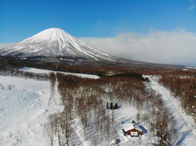
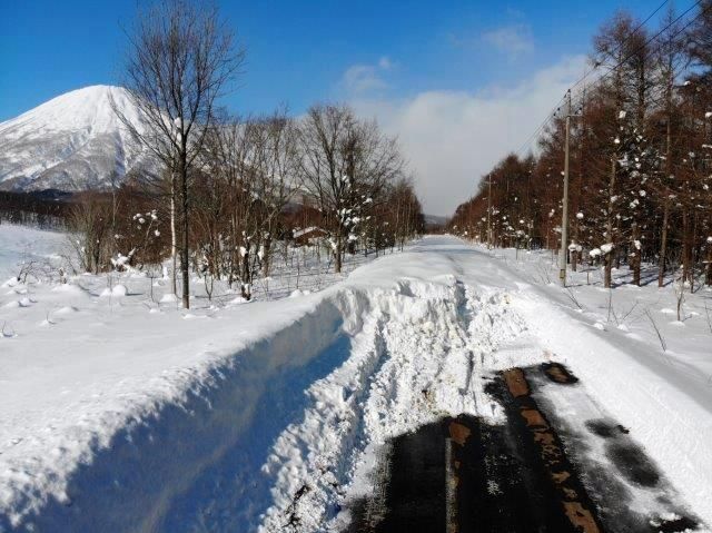
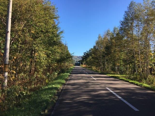
This expansive land parcel, designated as CountryLand Makkari Shinyo, offers a rare opportunity to own a substantial 6,690 square meters (approximately 2,023.73 tsubo) of flat, forested land in the scenic Makkari Village of Hokkaido. The property is listed for sale at 20,000,000 JPY. The land is classified as "woodland" and enjoys a generous 80-meter frontage onto an 8.9-meter wide paved public road on its eastern side.

Critical agent notes provide essential information for prospective buyers. The property requires well drilling for water supply. Furthermore, the front road is currently not cleared of snow during the winter period, which is a crucial consideration for year-round access.

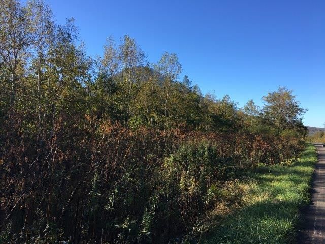
The land is situated outside of any urban planning zone and has no designated use district, offering significant flexibility for development within the permitted 70% building coverage and 400% floor area ratio. The transaction will be handled via agency. A key selling point is the property's stunning view of Mount Yotei, the iconic volcano often referred to as "Ezo Fuji."

The area surrounding Makkari is part of the Niseko region, renowned for its world-class powder snow and outdoor recreation. An interesting fact is that the nearby Shiribetsu River is one of the clearest rivers in Japan, known for its pristine, turquoise waters. The closest major tourist attraction is the majestic Mount Yotei itself, a perfectly symmetrical stratovolcano that dominates the skyline and offers challenging hikes and spectacular scenery.

This description was AI-generated from the original Japanese listing and may contain inaccuracies. Please verify details with the source listing.

Summary

Land size: 6,690 / 72,011sqft

Short-Term Rental (Minpaku)

Transport

CTS

New Chitose Airport — 72 km away

Nearby Konbini

Seven Eleven Seven Eleven — 30 min walk

Internet Connectivity

Natural Hazard Assessment

Flood Risk Low Risk
Landslide Risk Moderate
Tsunami Risk Low Risk
Earthquake Hazard Moderate

Unlock hazard data with a free trial

Flood, landslide, tsunami & earthquake risk for this property

3 days free · cancel anytime

Start Free Trial

Purchase Cost & Tax Estimates

Agent fees, acquisition tax, registration costs & annual property tax

Airbnb Revenue Estimate

Projected nightly rate, occupancy & net income for this property

Investment ROI

Annual yield, break-even timeline & 10-year return projection

Map & Street View

Map loading...

Location Accuracy Notice: Although we try to make the map accurate with coordinates or address details provided, the location data is provided by the agent. This map data should be used as reference for the surrounding area foremost.

Location Type Beds Price Land House View

* Sold properties shown for price comparison only. Prices reflect historical sale data.

Location Type Beds Rent/Month Land House View

* Rental prices shown are monthly rates. Contact property owner for current availability.

Dev Bot
Task #
Draw to highlight areas, then tap Done to attach